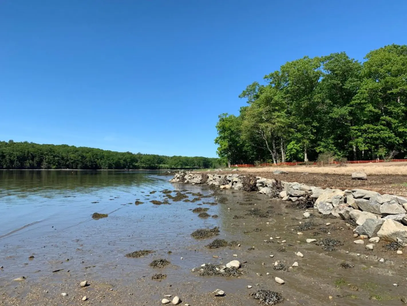
The NH Department of Environmental Services Coastal Program announced the publication of the New Hampshire Living Shoreline Site Suitability Assessment (L3SA) technical report and mapping tool. The goal of L3SA is to identify sites that may be suitable for specific living shoreline approaches in order to address erosion issues along the NH shoreline. L3SA is intended to be a screening tool used for planning purposes only and sites of interest should be further evaluated with a site-specific survey.
To access the data, use the ArcGIS Online mapping tool and use the technical report as a reference guide for details about model development, data sources, and attribute interpretation.
If you have a specific site in mind, contact Kirsten Howard to request a Living Shoreline Site Suitability Profile for your site. To request your profile, please email the address and location you are interested in to Kirsten (email above).
Congratulations to Vidya Balasubramanyam (2017-2019 NOAA Coastal Management Fellow) who led the project!

