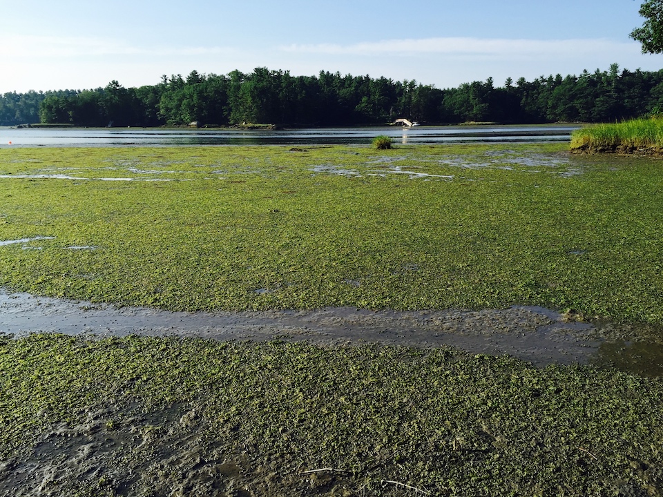
For the first time since beginning monitoring in 2013, researchers are able to document declines in some of the nuisance algae, which were very high in 2013. According to the 2018 Report of Seaweed Monitoring in the Great Bay Estuary, the cover of green algae has decreased significantly over time at the two Great Bay sites sampled annually (Depot Road in Greenland and Adams Point in Durham). In addition, the cover of red algae has decreased at one site (Depot Road). However, there were no significant decreases at the other six sites, and results from 2018 still show high levels of nuisance algae, especially at the lowest elevations.
2018 was the first year that samping of seaweed was implemented for subtidal habitats as well as intertidal habitats. Researchers are especially concerned about subtidal areas because there are concerns that seaweeds are contributing to the decline of eelgrass ini the estuary. Although determining subtidal percent cover assessments were difficult, the assessments were successful based on strong correlations between cover and biomass. The abundance of macroalge in association with eelgrass beds was significant and likely impacted eelgrass density and productivity as cover and biomass of eelgrass and algae were inversely correlated. Further monitoring is required to determine potential impacts of emerging threats of increased nutrients from impervious surfaces as the human population in the Great Bay watershed grows, rising water temperatures from climate change, and subsiding threats as substantial improvements to wastewater treatment facilities and better stormwater management are adopted in the watershed.
As the weather warms we are well into the 2019 field season, collecting more data on seaweed and even piloting some drone-based remote sensing. As usual, the Partnership will also collected data on water quality in the estuary and tributaries above the heads of tide. In our last newsletter you read about a new permanent SeagrassNet site being added this year on the Maine side of Portsmouth Harbor; the other SeagrassNet site is in the western part of Great Bay and has been sampled since 2007. The SeagrassNet protocol allows detailed seagrass health monitoring along permanent underwater transects. In addition, researchers will be attempting an aerial fly-over of the estuary to assess the overall distribution of eelgrass for 2019. If possible, researchers will use both drone and snorkel-based seaweed monitoring on the same day as the aerial flight so that we can compare several scales on the same day: aerial flight; drone flying at 200 ft; snorklers in the water. This information could be used to build a model of how the monitoring approaches compare to each other in terms of detecting eelgrass versus seaweed.
Plans for future field work are often discussed a the Piscataqua Region Monitoring Collaborative (PRMC) meetings, a workgroup within the Partnership's Technical Advisory Committee. Stay up to date with the PRMC workgroup and learn more about the Technical Advisory Committee by visiting the Technical Advisory Committee webpage.

