
We’re thrilled to announce over $86,000 in funding to support projects in five towns: Greenland, Hampton Falls, New Castle, Newmarket, and Stratham.
PREP's grant program is called the Piscataqua Region Environmental Planning Assessment Grant Program—also known as the PREPA Grant Program. They support any of the 52 cities and towns within the Piscataqua Region Watershed in both Maine and New Hampshire. The program helps our communities make big strides in protecting their natural resources and water quality, as well as in preparing for and adapting to climate change.
In addition to funding municipalities themselves, the grant program also fund watershed groups, and organizations partnering with one or more municipalities in the Piscataqua Region Watershed.
Projects funded through the 2024-2025 PREPA Grant Program in these five towns include advancements in mapping natural resources, stormwater management, and septic system assessment. PREP is grateful for the chance to support communities as they carry out projects that enhance water quality and strengthen resilience.
Our collaborations with local communities are at the heart of PREP’s mission, and we deeply appreciate and celebrate Greenland’s, Hampton Falls’, New Castle’s, Newmarket’s, and Stratham’s ongoing commitment to prioritize clean water and climate resilience. Please join us in celebrating the launch of these projects!
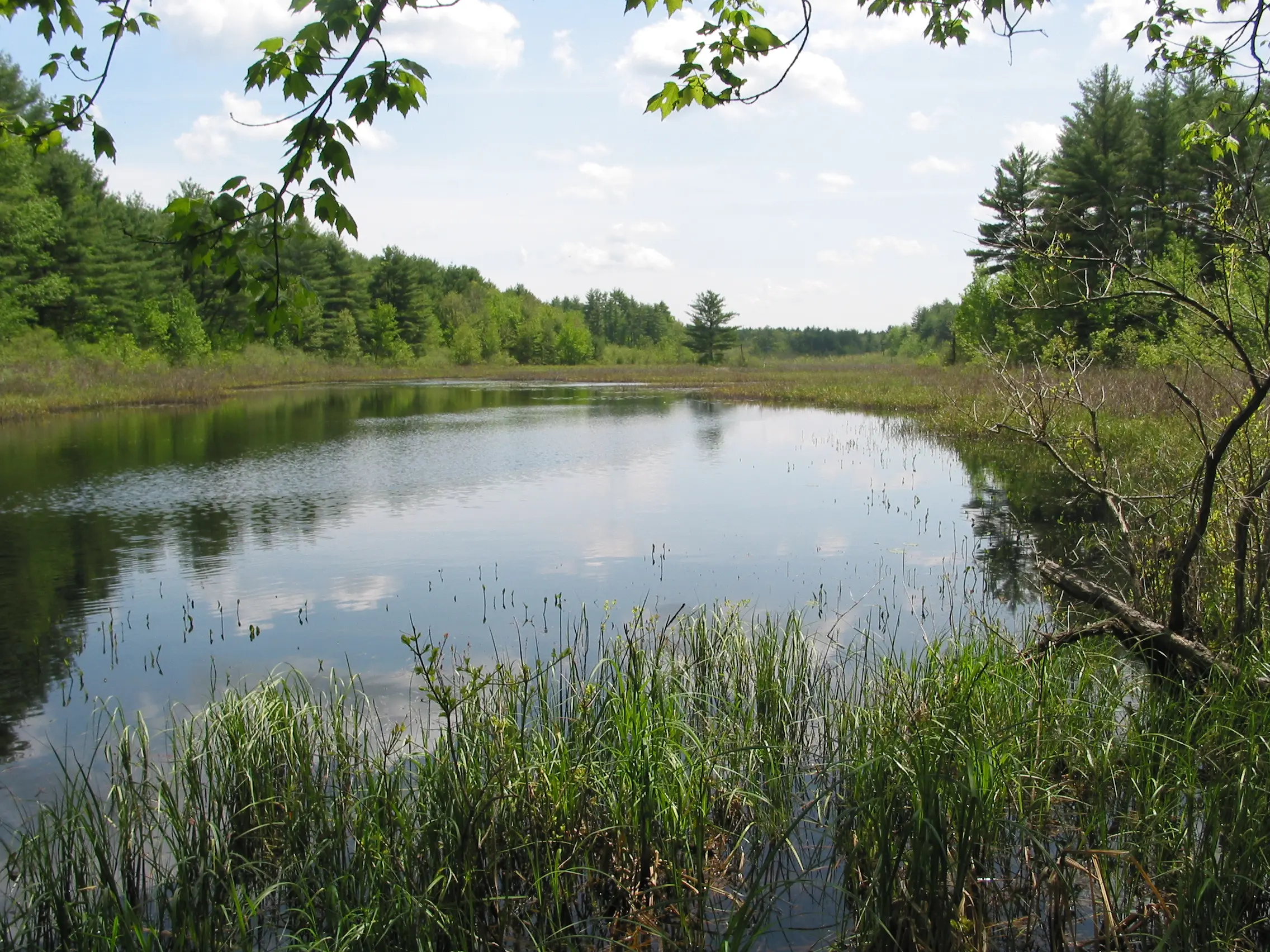
GREENLAND
Greenland will work with the Rockingham Planning Commission to create an updated map and inventory of their natural resources. This process proactively helps the entire Greenland community understand and manage their natural resources of the area, such as wetlands, forests, water bodies, and wildlife habitats, ensuring that conservation and planning efforts are based on the most accurate and recent data. This map and data will inform their long term decision making, ranging from development decisions, septic system and fertilizer setbacks, to buffers near water bodies.
HAMPTON FALLS
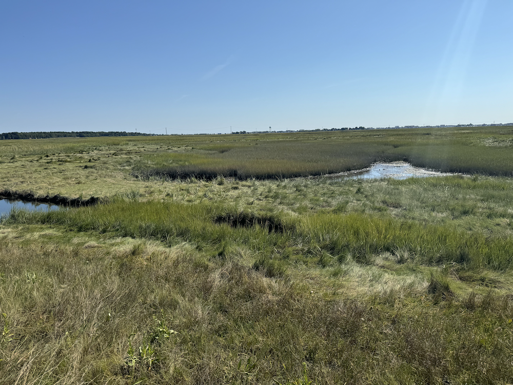
Building upon data collected by Seabrook-Hampton Estuary Alliance (SHEA) and other municipalities, Hampton Falls will work with FB Environmental to create an interactive story map, a dynamic tool that combines maps with narrative elements to engage users. The map will allow the general public and municipal leaders and planners to explore geographical information through a combination of maps, text, images, videos, and other multimedia content. This accessible format will allow the Hampton Falls community to engage in topics ranging from coastal erosion and flood risks to conservation efforts and personal experiences related to the coast.
NEW CASTLE
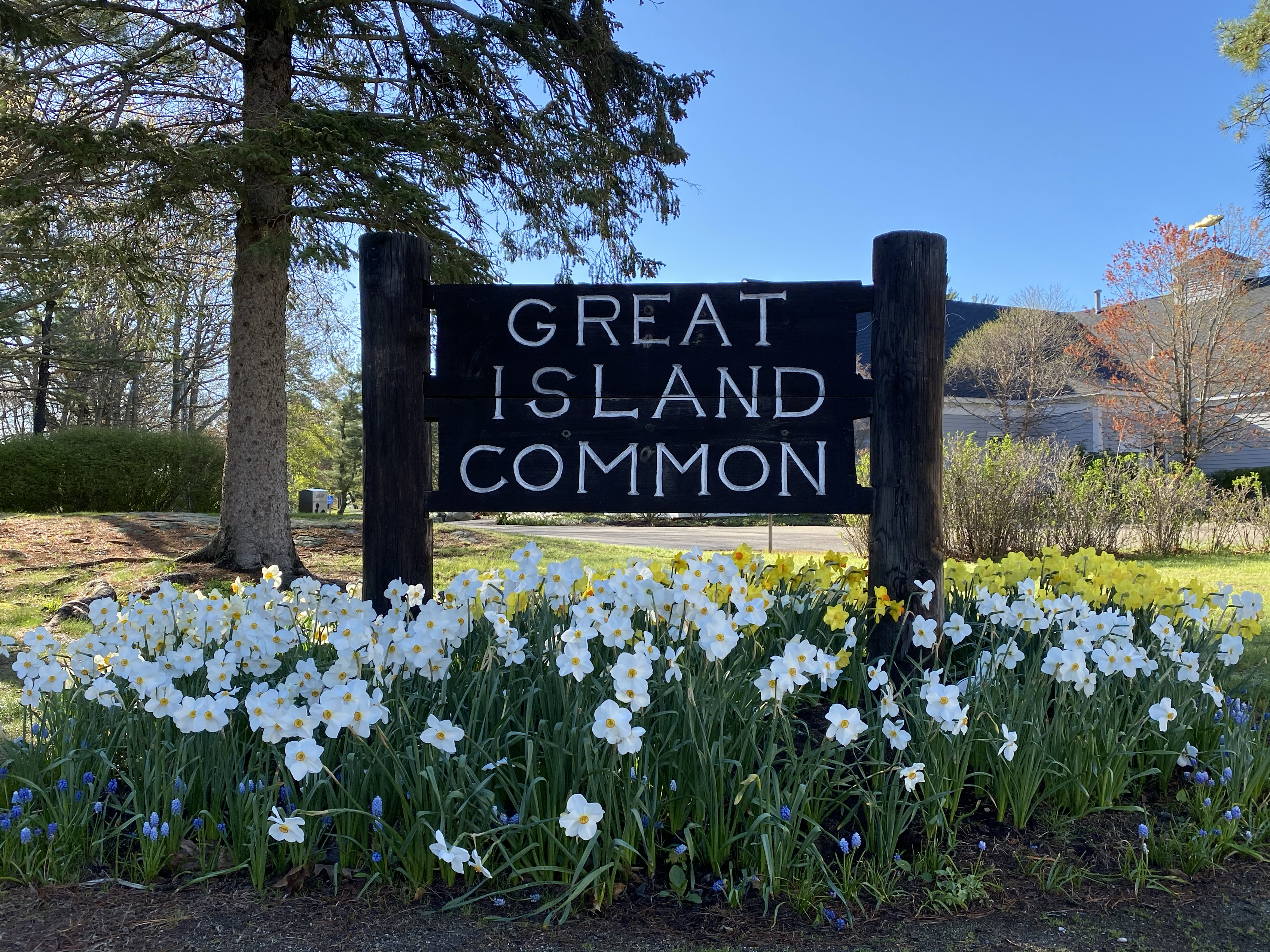
New Castle will work with the Rockingham Planning Commission to update their stormwater management and erosion control regulations to enhance surface water protection. This includes revising the MS4 stormwater permit and implementing new regulations to reduce stormwater pollution. To support community-wide education and encourage adoption of these new policies, the town will create a resident guide. This guide will provide information on current water protection efforts in the town and explain the new stormwater regulations and their purpose.
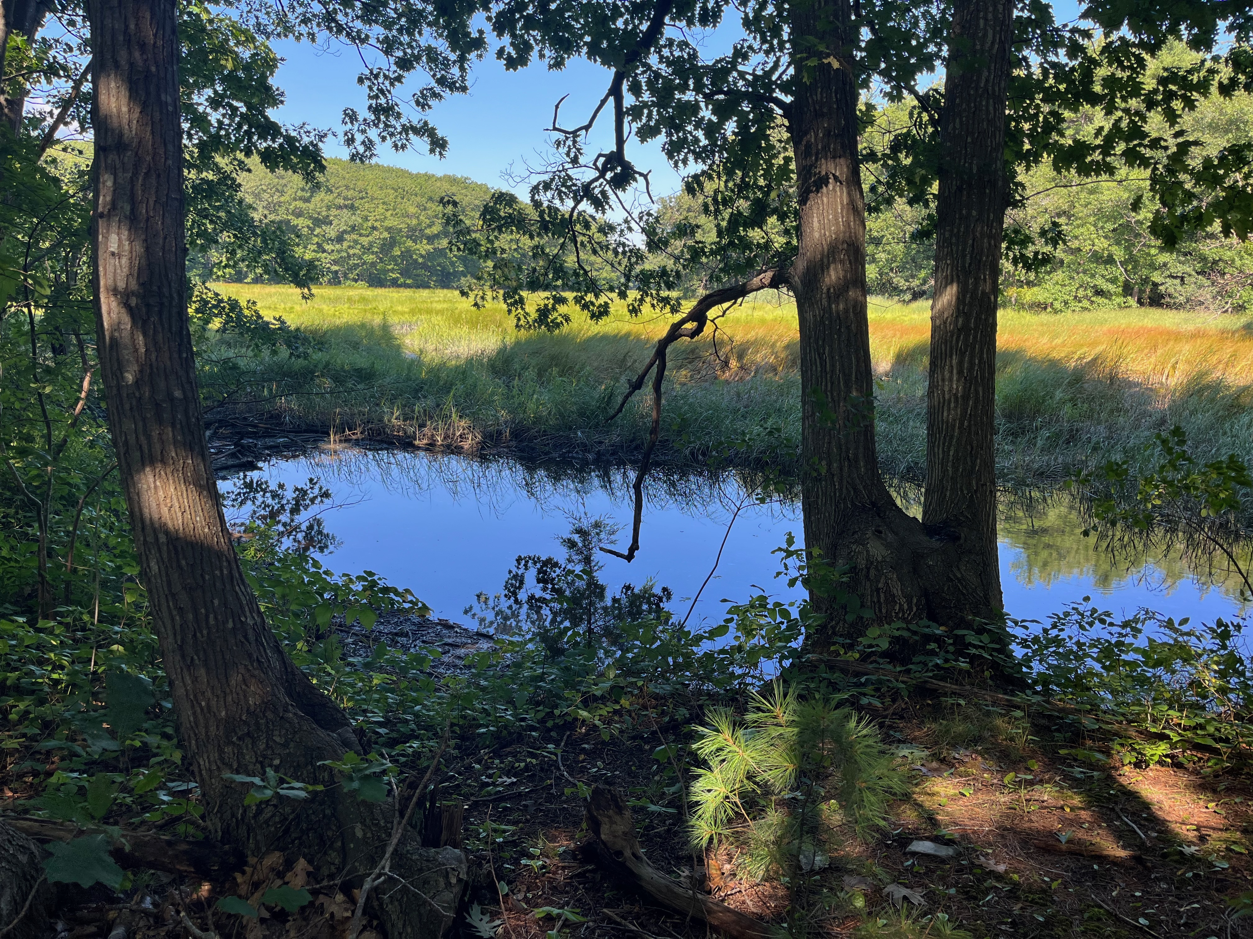
NEWMARKET
Newmarket will work with West Environmental Inc. and the Strafford Regional Planning Commission to create a new wetlands map which will reflect changes in hydrology. Changes in hydrology—like shifts in water flow, flooding patterns, or drainage—can alter wetland boundaries or the characteristics of the wetlands themselves. Updating the map ensures that it reflects the current state of the wetlands, which is essential for effective management, conservation, and planning efforts. Once a new, updated map has been created, the Newmarket Conservation Commission will use this information to identify and protect prime wetlands, inform zoning restrictions, as well as Newmarket’s Master Plan.
Photo by: Ellen Snyder
STRATHAM
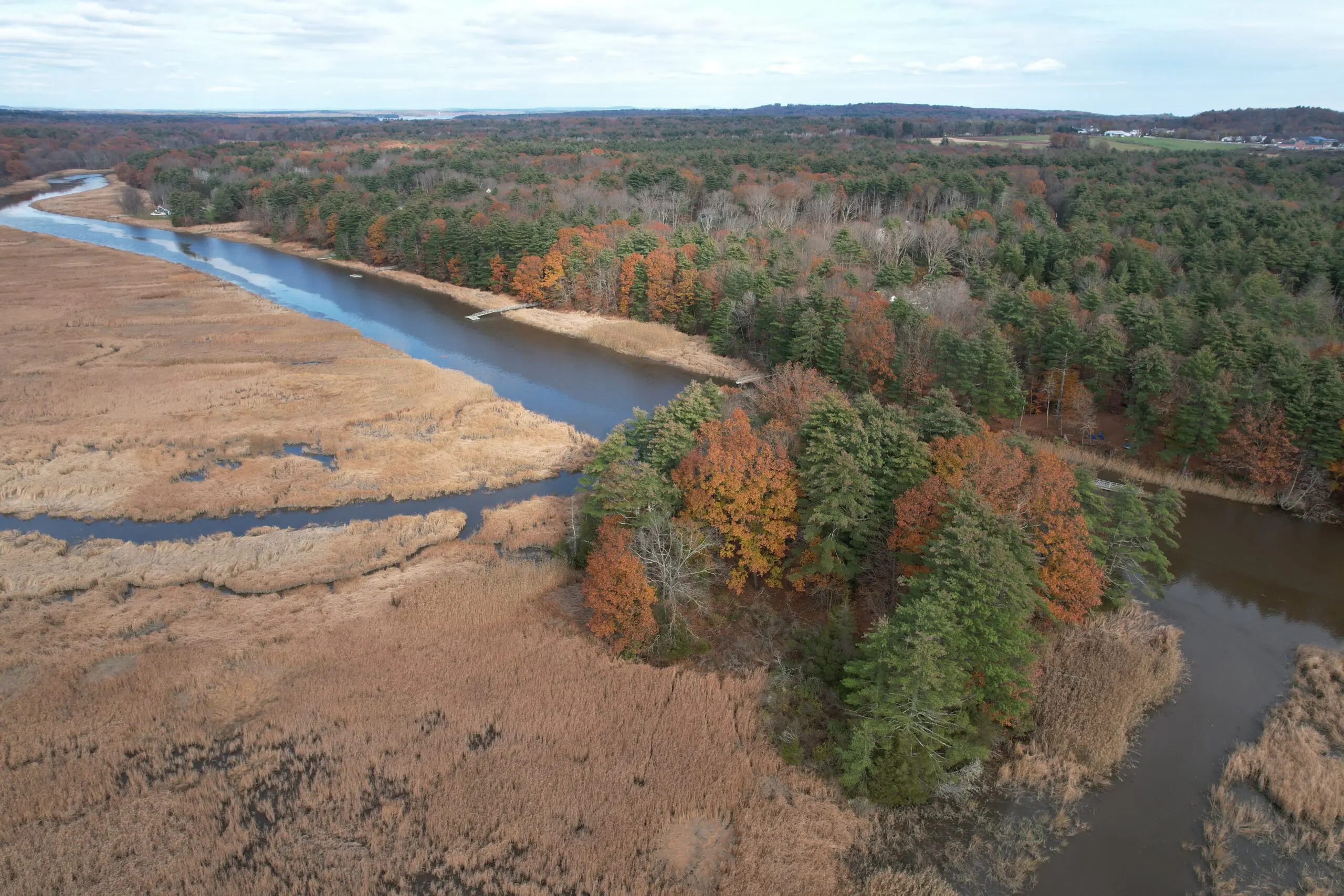
In partnership with FB Environmental, Stratham will conduct a septic system vulnerability assessment. This assessment will help the town determine how many homes rely on septic systems, identify areas prone to system failure, educate the town on septic maintenance, and identify parcels without septic permitting. The assessment coincides with a September Septic Smart Week campaign to ensure community members have access to septic system knowledge and can adopt best practices for management long term.
Photo by: Jeff Hyland, Stratham Heritage Commission
The PREPA Grant Program will be announcing the next round of funding for 2025-2026 soon! Please sign up for our emails to learn about these opportunities and/or visit the PREPA Grants page on our website for more about the Program.
A watershed is an area of land where all the water from rain and snow drains into a common body of water, like a river, bay, or ocean. Our waterways are deeply connected, even if there is distance between them. From Wakefield and Deerfield in New Hampshire to Portsmouth (NH) and Kittery, Maine our watershed is like a big bowl that catches all the water and channels it to one place: the ocean. When all parts of our watershed thrive, so do we!