
Explore the Data!
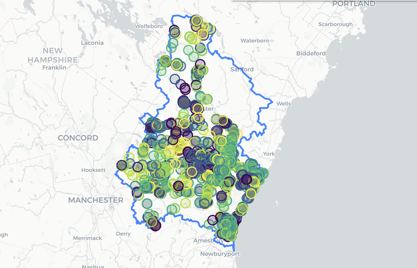
The Piscataqua Region Estuaries Partnership is proud to present a new way to visualize and analyze the data of our region: The Piscataqua Watershed Data Explorer. This user-friendly, interactive database allows users to filter through water quality data and visualize it in new ways. It represents the most comprehensive collection of environmental data for the watersheds of coastal New Hampshire and Maine, spanning town borders and multiple organizations’ monitoring efforts.
This one-stop tool can be used to analyze and download water quality metrics ranging from nutrients (like nitrogen and phosphorous) to temperature and precipitation. The data comes from almost 2,000 stations around our watershed – some of the stations even have 2.8 million data points! Whether you’re a researcher, resource manager, student, or interested resident, there’s data in the Data Explorer that’s useful to you. To play with the data and discover the Data Explorer for yourself, head to data.prepestuaries.org/data-explorer/. If you have questions, please contact Trevor at Trevor.Mattera@unh.edu.